13°34'60" N
14°55'0" W
~1m asl
07:02 (GMT - UTC/GMT+0)
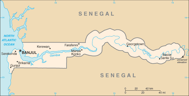
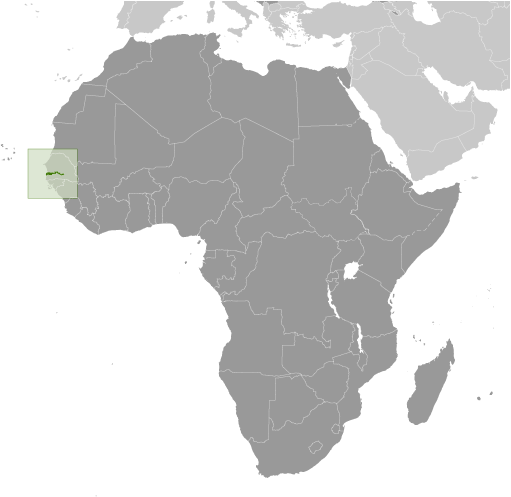
Mimang Island (Mimang Island) est un/une île (class T - hypsographiques) en Central River Division (Gambia, The (general)), Gambie (Africa), ayant le code de région Africa/Middle East. Mimang Island est situé à 1 mètres d'altitude.
Mimang Island est aussi connu(e) comme Mimang Island, Miniang Island.
Les coordonnées géographiques sont 13°34'60" N et 14°55'0" W en DMS (degrés, minutes, secondes) ou 13.5833 et -14.9167 (en degrés décimaux). La position UTM est EA00 et la référence Joint Operation Graphics est ND28-11.
L’heure locale actuelle est 07:02; le lever du soleil est à 08:53 et le coucher du soleil est à 21:00 heure locale (Africa/Banjul UTC/GMT+0). Le fuseau horaire pour Mimang Island est UTC/GMT+0
En 2024 l’heure d’été est valable de - à -.
A île est une parcelle de terrain, plus petit qu'un continent, entourée par l'eau à marée haute.
|
Advertisements:
Advertisements:
|
Météo Mimang Island (Nébulosité, Température, Vent et Précipitation mm probab.)
Sun
Apr 28
28 °C min
42 °C max
21 km/h
Thu Jan 1
|
Mon
Apr 29
28 °C min
43 °C max
16 km/h
Thu Jan 1
|
Tue
Apr 30
26 °C min
43 °C max
17 km/h
Thu Jan 1
|
Wed
May 1
~2 l/m2 30%
26 °C min
43 °C max
17 km/h
Thu Jan 1
|
Thu
May 2
27 °C min
43 °C max
17 km/h
Thu Jan 1
|
Fri
May 3
25 °C min
44 °C max
17 km/h
Thu Jan 1
|
|
|
Mimang Island (Central River Division) prévisions à 7 jours
Carte et Les photos Mimang Island
--- Il n'y a aucun commentaire ---
Ajouter un commentaire:
|
Login
Gambie (Banjul):
Advertisement
Points GPS pres de Mimang Island
Points GPS de Gambie (Banjul)
|

 Patatale Bolon (1 km)
  Patatale Creek (1 km)
  Walli Kunda (1 km)
  Barajali Tenda (3 km)
  Ka-ai (3 km)
  Kai Hai (3 km)
  Saruja (3 km)
  Sukuta (3 km)
  Sukutta (3 km)
  Barajali (4 km)
  Barrajalli (4 km)
  Kajakat Island (4 km)
  Willingara (4 km)
  Willingara Kejaw (4 km)
  Sapu (4 km)
  Sepu (4 km)
  Sibikuroto Forest Park (4 km)


