55°34'60" N
21°13'0" E
~9m asl
19:25 (EEST - UTC/GMT+3)
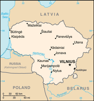
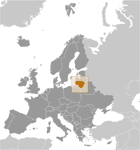
King Wilhelm Canal (King Wilhelm Canal) est un/une canal (class H - hydrographique) en Lithuania (general), Lituanie (Europe), ayant le code de région Eastern Europe. King Wilhelm Canal est situé à 9 mètres d'altitude.
King Wilhelm Canal est aussi connu(e) comme Imperatoriaus Vilimo perkasa, Kanal Korolya Vil'gel'ma, Kanal Korolya Vil’gel’ma, Karaliaus Vilhelmo Kanalas, Karaliaus Vilhelmo Perkasas, Karalyaus Vel'khel'mo Kanalis, Karalyaus Vel’khel’mo Kanalis, King Wilhelm Canal, Konig Wilhelm Canal, Konig-Wilhelm-Kanal, König-Wilhelm-Kanal.
Les coordonnées géographiques sont 55°34'60" N et 21°13'0" E en DMS (degrés, minutes, secondes) ou 55.5833 et 21.2167 (en degrés décimaux). La position UTM est EG15 et la référence Joint Operation Graphics est NN34-02.
L’heure locale actuelle est 19:25; le lever du soleil est à 07:54 et le coucher du soleil est à 20:01 heure locale (Europe/Vilnius UTC/GMT+3). Le fuseau horaire pour King Wilhelm Canal est UTC/GMT+2, mais le fuseau horaire actuel est UTC/GMT+3, parce qu’en ce moment l’heure d’été (DST) est valable.
En 2024 l’heure d’été est valable de 31 Mar 2024 à 27 Oct 2024.
A Canal est un cours d'eau artificiels.
|
Advertisements:
Advertisements:
|
Météo King Wilhelm Canal (Nébulosité, Température, Vent et Précipitation mm probab.)
Sat
Apr 27
9 °C min
13 °C max
21 km/h
Thu Jan 1
|
Sun
Apr 28
7 °C min
15 °C max
24 km/h
Thu Jan 1
|
Mon
Apr 29
9 °C min
16 °C max
28 km/h
Thu Jan 1
|
Tue
Apr 30
10 °C min
17 °C max
23 km/h
Thu Jan 1
|
Wed
May 1
9 °C min
18 °C max
19 km/h
Thu Jan 1
|
Thu
May 2
10 °C min
17 °C max
20 km/h
Thu Jan 1
|
|
|
Karaliaus Vilhelmo Perkasas (Lithuania (general)) prévisions à 7 jours
Carte et Les photos King Wilhelm Canal
--- Il n'y a aucun commentaire ---
Ajouter un commentaire:
|
Login
Lituanie (Vilnius):
Advertisement
Points GPS pres de King Wilhelm Canal
Points GPS de Lituanie (Vilnius)
|
 Dercekliai (2 km)