10°43'0" N
107°27'0" E
~114m asl
07:53 (ICT - UTC/GMT+7)
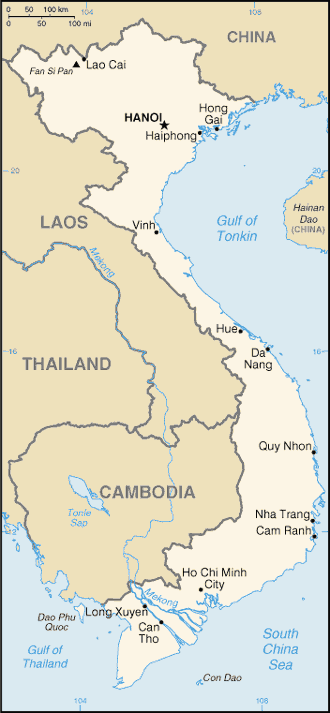
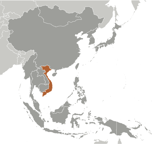
Hoi Dong Den (Hội Ðồng Dện) est un/une lieu habité (class P - des lieux habités) en Vietnam (general) ((VM40)), Vietnam (Asia), ayant le code de région Vietnam. Hoi Dong Den est situé à 114 mètres d'altitude.
Les coordonnées géographiques sont 10°43'0" N et 107°27'0" E en DMS (degrés, minutes, secondes) ou 10.7167 et 107.45 (en degrés décimaux). La position UTM est YS68 et la référence Joint Operation Graphics est NC48-08.
L’heure locale actuelle est 07:53; le lever du soleil est à 08:54 et le coucher du soleil est à 21:01 heure locale (Asia/Phnom_Penh UTC/GMT+7). Le fuseau horaire pour Hoi Dong Den est UTC/GMT+7
En 2024 l’heure d’été est valable de - à -.
A Lieu habité est une ville, ville, village, ou de l'agglomération d'autres bâtiments où les gens vivent et travaillent.
|
Advertisements:
Advertisements:
|
Météo Hội Ðồng Dện (Nébulosité, Température, Vent et Précipitation mm probab.)
Sat
Apr 27
27 °C min
36 °C max
25 km/h
Thu Jan 1
|
Sun
Apr 28
27 °C min
36 °C max
26 km/h
Thu Jan 1
|
Mon
Apr 29
~0.3 l/m2 13%
27 °C min
37 °C max
26 km/h
Thu Jan 1
|
Tue
Apr 30
27 °C min
36 °C max
28 km/h
Thu Jan 1
|
Wed
May 1
~9 l/m2 68%
26 °C min
35 °C max
25 km/h
Thu Jan 1
|
Thu
May 2
~3 l/m2 27%
27 °C min
33 °C max
20 km/h
Thu Jan 1
|
|
|
Suoi Hop (Vietnam (general)) prévisions à 7 jours
Carte et Les photos Hoi Dong Den
--- Il n'y a aucun commentaire ---
Ajouter un commentaire:
|
Login
Vietnam (Hanoi):
Advertisement
Points GPS pres de Hội Ðồng Dện
Points GPS de Vietnam (Hanoi)
|

 Bau Ham (1 km)
  Bau Ngua (1 km)
  Bau Mang (5 km)
  Ap Ben Ke (2) (7 km)
  Song La Hoa (7 km)
  Suoi La Hoa (7 km)
  Ap Ben Ke (1) (7 km)
  Song Trong (7 km)
  Lang Ban Ma (8 km)
  Long Ban Ma (8 km)
  Xa Thua Tich (8 km)
  Xom Xa Nam (8 km)
  Ap Lam Xuan (9 km)
  Lam Xuan (9 km)
  Song Le (9 km)
  Suoi Le (9 km)
  Song Luc (9 km)


