52°30'0" N
5°45'0" E
~0m asl
16:25 (CEST - UTC/GMT+2)
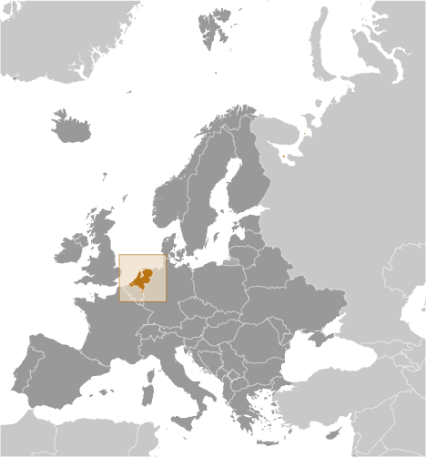
Nederlanden (Nederlanden) est un/une L'entité indépendante politiques (class A - Région administrative) en Netherlands (general), Pays-bas (Europe), ayant le code de région Americas/Western Europe.. et la population s'élève à 16,645,000.
Nederlanden est aussi connu(e) comme Ahmotlacpactli, Alankomaat, An Isiltir, An Ísiltír, Bas Payis, Belanda, ENetherlands, Eben Eyong, Ha Lan, Herbehereak, Holan, Holanda, Holandia, Holandsko, Holane, Holani, Holland, Hollanda, Hollandia, Hollánda, Hulanda, Hà Lan, Hôlanê, Izelvroiou, Izelvroioù, Kholandija, Kingdom of the Netherlands, Koninkrijk der Nederlanden, Madalmaad, Nedaen, Nedderlannen, Nederlaenderna, Nederlaeng, Nederlan, Nederland, Nederlanden, Nederlandia, Nederlando, Nederlân, Nederländerna, Nederläng, Nedän, Netherlands, Niderland, Niderlande, Niderlander, Niderlandi, Niderlandy, Nidurloend, Nidurlond, Niederlande, Nizozemska, Nizozemsko, Niðerland, Niðurlond, Niðurlönd, Nižozemska, Nyderlandai, Nīderlande, Olanda, Olandija, Olland, Ollandia, Paesi Bassi, Pais Bass, Pais Basse, Paises Baixos, Paises Baixos - Nederland, Paises Bajos, Paises Basses, Paises Baxos, Paisos Baixos, Payis-Bas, Payis-Bâs, Pays Bas, Pays-Bas, Países Baixos, Países Baixos - Nederland, Países Bajos, Países Baxos, Païses Basses, Països Baixos, Tarile de Jos, The Netherlands, U Buholandi, Uholanzi, Urasuyu, Uray Llaqta Suyu, Vendet e Uleta, Vendet e Ulëta, Yr Iseldiroedd, halanda, halyanda, he lan, hlnd, hwlnd, hwlnda, nedaralyandsa, nedeollandeu, netarlantu, nidaralaindsa, niderlandebi, niderlandi, oranda, oranda wang guo, Ţările de Jos, Ολλανδία, Нидерланд, Нидерланды, Нідерланди, Нідэрланды, Нідэрлянды, Холандия, Холандија, Նիդերլանդեր, הולנד, نیدرلینڈ, هالېنډ, هلند, هولندا, گوللاندىيە, ܗܘܠܢܕܐ, नीदरलैंड्स, नेदरल्याण्ड्स, হলণ্ড, হল্যাণ্ড, நெதர்லாந்து, ประเทศเนเธอร์แลนด์, เนเธอร์แลนด์, ເນເທີແລນ, ནེ་ཐར་ལནྜ།, ནེ་དར་ལེནཌསི, ნიდერლანდები, ნიდერლანდი, ኔዘርላንድ, ហូល្លង់, オランダ, オランダ王国, 荷兰, 네덜란드.
Les coordonnées géographiques sont 52°30'0" N et 5°45'0" E en DMS (degrés, minutes, secondes) ou 52.5 et 5.75 (en degrés décimaux). La position UTM est FU82 et la référence Joint Operation Graphics est NN31-12.
L’heure locale actuelle est 16:25; le lever du soleil est à 07:54 et le coucher du soleil est à 20:01 heure locale (Europe/Amsterdam UTC/GMT+2). Le fuseau horaire pour Nederlanden est UTC/GMT+1, mais le fuseau horaire actuel est UTC/GMT+2, parce qu’en ce moment l’heure d’été (DST) est valable.
En 2024 l’heure d’été est valable de 31 Mar 2024 à 27 Oct 2024.
|
Advertisements:
Advertisements:
|

 Palingtocht (1 km)
  Spieringtocht (1 km)
  Gemeente Dronten (2 km)
  Reijnaerthoeve (2 km)
  Olstertocht (2 km)
  Ansjovistocht (3 km)
  Wisentbos (3 km)
  Spaarnhoeve (3 km)
  Dronten (4 km)
  Hanzetocht (4 km)
  Oldebroekertocht (4 km)
  Riettocht (4 km)
  Ellertocht (4 km)
  Colijntocht (5 km)
  Rendiertocht (5 km)
  Oosterwoldetocht (5 km)
  Zeebiestocht (5 km)


