60°19'60" N
1°19'60" W
~134m asl
07:16 (BST - UTC/GMT+1)
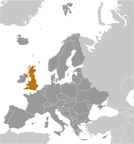
Gom Firth (Gom Firth) est un/une baie (class H - hydrographique) en Scotland (Shetland Islands), Royaume-uni (Europe), ayant le code de région Americas/Western Europe. Gom Firth est situé à 134 mètres d'altitude.
Gom Firth est aussi connu(e) comme Hetland, Illas Shetland, Islas Shetland, Isole Shetland, Sealtainn, Setlandaj Insuloj, Setlando salos, Shetland, Shetland Islands, Shetland Islands Area, Shetland-szigetek, Shetlandeilanden, Shetlandi saared, Shetlandinsaaret, Shetlandinseln, Shetlandski ostrovi, Shetlandsoearna, Shetlandsoerne, Shetlandsoyane, Shetlandsöarna, Shetlandsøerne, Shetlandsøyane, Shetlandy, Shetlendskie ostrova, Szetlandy, ZET, Zetland, shetorando zhu dao, syeteullaendeu jedo, Ŝetlandaj Insuloj, Šetlando salos, Шетландски острови, Шетлендские острова, איי שטלנד, シェトランド諸島, 셰틀랜드 제도.
Les coordonnées géographiques sont 60°19'60" N et 1°19'60" W en DMS (degrés, minutes, secondes) ou 60.3333 et -1.33333 (en degrés décimaux). La position UTM est WM98 et la référence Joint Operation Graphics est NP29-16.
L’heure locale actuelle est 07:16; le lever du soleil est à 07:54 et le coucher du soleil est à 20:01 heure locale (Europe/London UTC/GMT+1). Le fuseau horaire pour Gom Firth est UTC/GMT+0, mais le fuseau horaire actuel est UTC/GMT+1, parce qu’en ce moment l’heure d’été (DST) est valable.
En 2024 l’heure d’été est valable de 31 Mar 2024 à 27 Oct 2024.
A Baie est une échancrure entre les deux caps ou promontoires, plus grand que d'une anse, mais inférieure à un gouffre.
|
Advertisements:
Advertisements:
|

 Selie Ness (2 km)
  Linga (2 km)
  Papa Little (2 km)
  The Rona (3 km)
  Olna Firth (3 km)
  Voe (4 km)
  Aith Voe (4 km)
  Busta Voe (4 km)
  Hevden Ness (4 km)
  Braga Ness (5 km)
  Uyea Sound (5 km)
  Brae (5 km)
  Burravoe (5 km)
  Burki Skerries (5 km)
  Roe Sound (6 km)
  Murbie Stacks (6 km)
  The Lothan (7 km)


