0°6'51" N
42°59'40" E
~1m asl
06:32 (EAT - UTC/GMT+3)
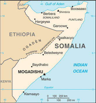
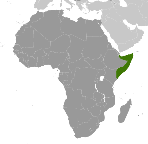
`El Bashir (`Ēl Báshīr) est un/une mare (s) (class H - hydrographique) en Lower Juba (Jubbada Hoose), Somalie (Africa), ayant le code de région Africa/Middle East. `El Bashir est situé à 1 mètres d'altitude.
`Ēl Báshīr est aussi connu(e) comme Bashiir, El Bascir, `El Bashir, ‘Ēl Báshīr.
Les coordonnées géographiques sont 0°6'51" N et 42°59'40" E en DMS (degrés, minutes, secondes) ou 0.114167 et 42.9944 (en degrés décimaux). La position UTM est KF71 et la référence Joint Operation Graphics est NA38-13.
L’heure locale actuelle est 06:32; le lever du soleil est à 08:55 et le coucher du soleil est à 21:02 heure locale (Africa/Mogadishu UTC/GMT+3). Le fuseau horaire pour `El Bashir est UTC/GMT+3
En 2024 l’heure d’été est valable de - à -.
A Mare (s) est un trou naturel, creux ou à petite dépression qui contient de l'eau, utilisée par l'homme et les animaux, en particulier dans les zones arides.
|
Advertisements:
Advertisements:
|
Météo `Ēl Báshīr (Nébulosité, Température, Vent et Précipitation mm probab.)
Thu
Apr 18
~2 l/m2 46%
28 °C min
29 °C max
24 km/h
Thu Jan 1
|
Fri
Apr 19
~29 l/m2 92%
27 °C min
29 °C max
18 km/h
Thu Jan 1
|
Sat
Apr 20
~4 l/m2 51%
27 °C min
30 °C max
21 km/h
Thu Jan 1
|
Sun
Apr 21
~17 l/m2 85%
27 °C min
30 °C max
20 km/h
Thu Jan 1
|
Mon
Apr 22
~2 l/m2 40%
28 °C min
30 °C max
20 km/h
Thu Jan 1
|
Tue
Apr 23
~15 l/m2 90%
28 °C min
30 °C max
16 km/h
Thu Jan 1
|
|
|
Bashiir (Lower Juba) prévisions à 7 jours
Carte et Les photos `El Bashir
--- Il n'y a aucun commentaire ---
Ajouter un commentaire:
|
Login
Somalie (Mogadishu):
Advertisement
Points GPS pres de `Ēl Báshīr
Points GPS de Somalie (Mogadishu)
|

 Saruur (0.5km)
  Bashur (2 km)
  Elca Essoie (4 km)
  Elca Essole (4 km)
  El Sole (4 km)
  Ceelka Essoole (4 km)
  Doon (5 km)
  Gilbo Gilbo (8 km)
  Jilbajilba (8 km)
  Yaaq Tunni (8 km)
  Ay Guule (8 km)
  Banaaney (8 km)
  Shubto (9 km)
  Biciidle (9 km)
  El Dere (9 km)
  Dheere (9 km)
  Oondheere (10 km)


