16°46'60" N
62°12'0" W
~240m asl
22:13 (AST - UTC/GMT--4)
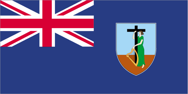
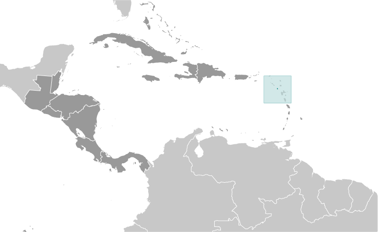
Black Ghaut Basin (Black Ghaut Basin) est un/une localité peuplée (class P - des lieux habités) en Parish of Saint Peter (Saint Peter), Montserrat [ Royaume-uni ] (North America), ayant le code de région Americas/Western Europe. Black Ghaut Basin est situé à 240 mètres d'altitude.
Les coordonnées géographiques sont 16°46'60" N et 62°12'0" W en DMS (degrés, minutes, secondes) ou 16.7833 et -62.2 (en degrés décimaux). La position UTM est ND85 et la référence Joint Operation Graphics est NE20-15.
L’heure locale actuelle est 22:13; le lever du soleil est à 08:55 et le coucher du soleil est à 21:02 heure locale (America/Montserrat UTC/GMT-4). Le fuseau horaire pour Black Ghaut Basin est UTC/GMT-4
En 2024 l’heure d’été est valable de - à -.
A Localité peuplée est une zone semblable à une localité, mais avec un petit groupe d'habitations ou d'autres bâtiments.
|
Advertisements:
Advertisements:
|
Météo Black Ghaut Basin (Nébulosité, Température, Vent et Précipitation mm probab.)
Fri
Apr 19
~3 l/m2 24%
27 °C min
28 °C max
10 km/h
Thu Jan 1
|
Sat
Apr 20
~3 l/m2 24%
26 °C min
28 °C max
25 km/h
Thu Jan 1
|
Sun
Apr 21
~3 l/m2 32%
26 °C min
28 °C max
28 km/h
Thu Jan 1
|
Mon
Apr 22
~3 l/m2 31%
26 °C min
28 °C max
29 km/h
Thu Jan 1
|
Tue
Apr 23
27 °C min
28 °C max
30 km/h
Thu Jan 1
|
Wed
Apr 24
~5 l/m2 39%
26 °C min
28 °C max
34 km/h
Thu Jan 1
|
|
|
Sweeney's Yard (Parish of Saint Peter) prévisions à 7 jours
Carte et Les photos Black Ghaut Basin
--- Il n'y a aucun commentaire ---
Ajouter un commentaire:
|
Login
Montserrat [ Royaume-uni ] (Overseas Territory):
Advertisement
Points GPS pres de Black Ghaut Basin
Points GPS de Montserrat [ Royaume-uni ] (Overseas Territory)
|
 Blakes Estate (1 km)