29°0'0" N
9°0'0" E
~549m asl
00:09 (CET - UTC/GMT+1)
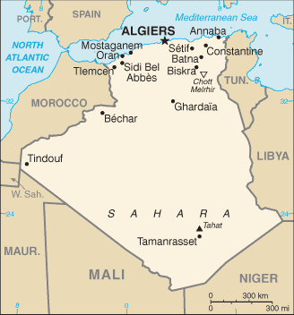
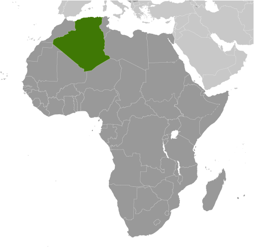
Plateau du Tinrhert (Plateau du Tinrhert) est un/une Desert Rock (class T - hypsographiques) en Wilaya d' Illizi (Illizi), Algérie (Africa), ayant le code de région Africa/Middle East. Plateau du Tinrhert est situé à 549 mètres d'altitude.
Plateau du Tinrhert est aussi connu(e) comme Altopiano di Tinghert, Hamada de Tinrhert, Hamadat Tingharat, Hamadat Tinghert, Hammada de Tinghert, Hamādat Tingharat, Plateau du Tinrhert, Ḩamādat Tinghert.
Les coordonnées géographiques sont 29°0'0" N et 9°0'0" E en DMS (degrés, minutes, secondes) ou 29 et 9 (en degrés décimaux). La position UTM est NT00 et la référence Joint Operation Graphics est NH32-11.
L’heure locale actuelle est 00:09; le lever du soleil est à 08:54 et le coucher du soleil est à 21:01 heure locale (Africa/Algiers UTC/GMT+1). Le fuseau horaire pour Plateau du Tinrhert est UTC/GMT+1
En 2024 l’heure d’été est valable de - à -.
A Desert Rock est relativement exempte de sable, plateau rocheux élevé dans un désert chaud, avec ou sans placage de gravier.
|
Advertisements:
Advertisements:
|
Météo Plateau du Tinrhert (Nébulosité, Température, Vent et Précipitation mm probab.)
Thu
Apr 25
24 °C min
29 °C max
18 km/h
Thu Jan 1
|
Fri
Apr 26
19 °C min
38 °C max
50 km/h
Thu Jan 1
|
Sat
Apr 27
23 °C min
34 °C max
34 km/h
Thu Jan 1
|
Sun
Apr 28
22 °C min
36 °C max
38 km/h
Thu Jan 1
|
Mon
Apr 29
26 °C min
36 °C max
33 km/h
Thu Jan 1
|
Tue
Apr 30
25 °C min
30 °C max
19 km/h
Thu Jan 1
|
|
|
Hamada de Tinrhert (Wilaya d' Illizi) prévisions à 7 jours
Carte et Les photos Plateau du Tinrhert
--- Il n'y a aucun commentaire ---
Ajouter un commentaire:
|
Advertisement
Login
Algérie (Algiers):
Points GPS de Algérie (Algiers)
|


