|
|
|
Advertisements:
GeographyLocation
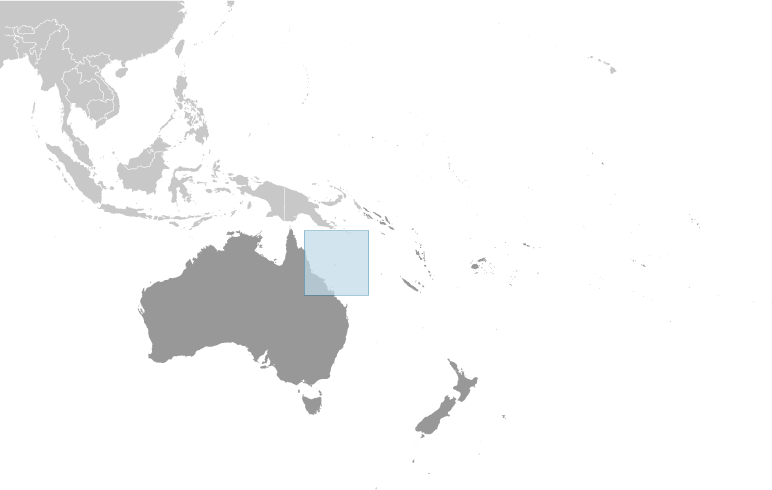
Océanie, îles de la mer de corail, au nord-est de l'Australie Geographic coordinates
18 00 S, 152 00 E
Map references
Océanie
Area
Total Less than 3 sq km
Land Less than 3 sq km Water 0 sq km Note Comprend de nombreuses petites îles et récifs dispersés sur une zone de la mer d'environ 780 000 km² avec les îlots Willis le plus important Area - comparative
NA
Land boundaries
0 km
Coastline
3,095 km
Maritime claims
Territorial sea 3 nm
Exclusive fishing zone 200 nm Climate
Tropical
Terrain
Sable et corail des récifs et îles (ou « Cayes ») Elevation extremes
Lowest point Pacific Ocean 0 m
Highest point Unnamed location on Cato Island 6 m Natural resources
NEGL
Land use
Arable land 0%
Permanent crops 0% Other 100% (mostly grass or scrub cover) (2005) Irrigated land
0 sq km
Natural hazards
Occasionnelles des cyclones tropicaux Environment - current issues
Aucune ressource d'eau douce permanents Geography - note
Aire de nidification importante pour les oiseaux et les tortues
Commentaires
Ajouter un commentaire: |
Advertisement
Login
îles De La Mer Corail [ Australie ]:
Points GPS de îles De La Mer Corail [ Australie ]
|
||||||||
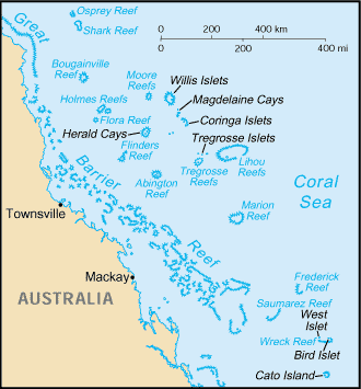
 Dispersés sur plus des trois quarts des 1 million de kilomètres carrés d'océan, les îles de la mer de corail ont été déclarés un territoire de l'Australie en 1969. Ils sont inhabitées, à l'exception d'un petit personnel météorologique sur les îlots Willis. Stations météorologiques automatisées, balises et un phare occupent beaucoup d'autres îles et récifs.